◉
Detect activity after dark
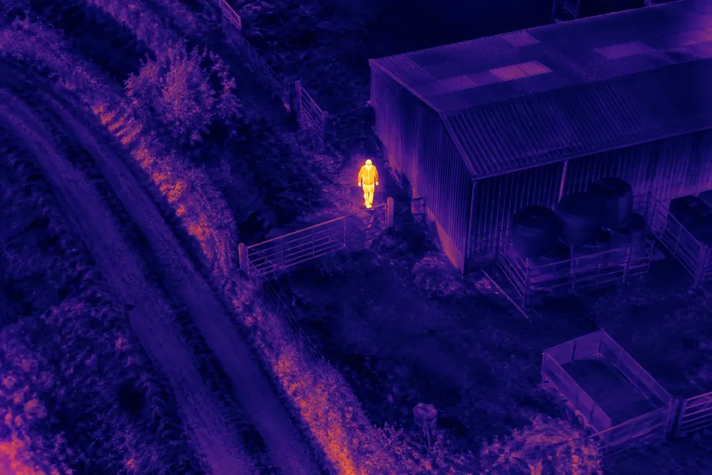
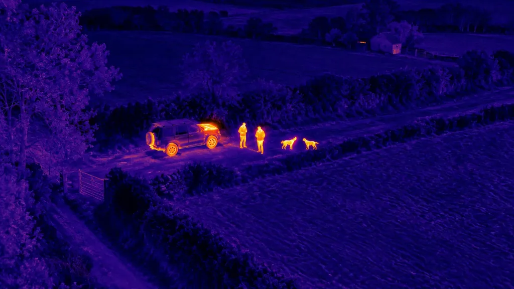
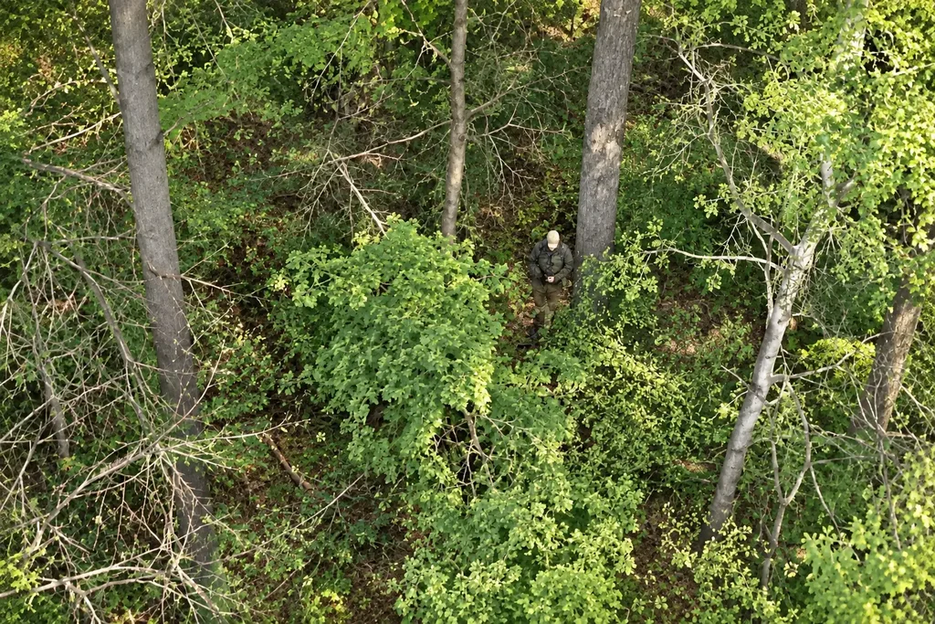
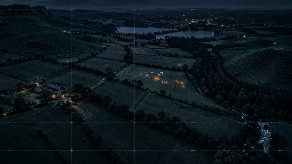
Thermal imagery can help identify people, animals or recently used vehicles after dark.
Thermal, zoom and live video for rapid-response site checks.
Drone security and aerial services for businesses and property owners across Lancashire and the North West.
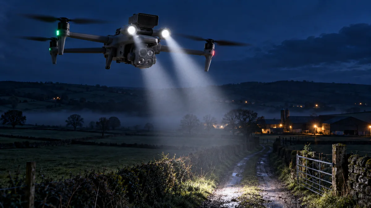
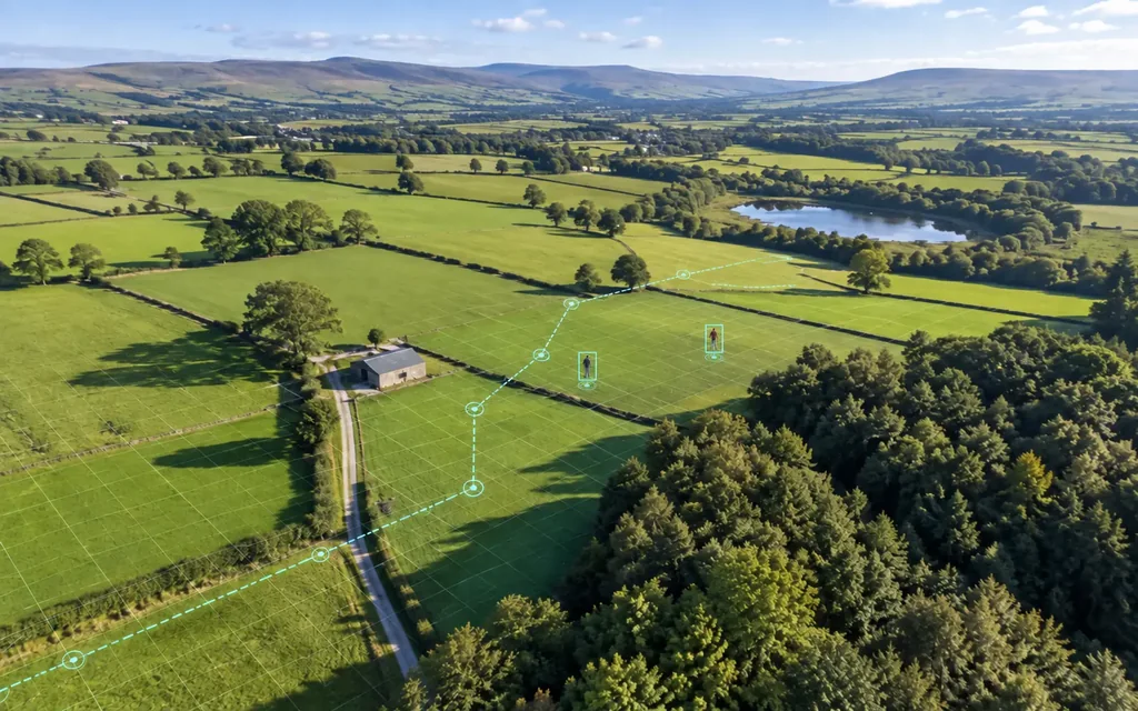
Thermal, zoom and live video help teams check activity across perimeters, buildings and hard-to-reach areas.
Thermal imagery can help identify people, animals or recently used vehicles after dark.
Share useful location information with the authorised response team, where agreed and lawful.
Check a difficult area from above before personnel approach.
Survey large sites, boundaries and remote sections from above.
Tell us the concern, location and what you need to protect.
Keith checks the site, airspace, weather and permissions, then confirms what a flight can realistically achieve.
We share agreed observations, imagery and useful location details.
Representative examples of thermal and daylight aerial imaging used to assess people, vehicles and activity across commercial, built and rural sites.
Security, inspection imagery and aerial photography for businesses and homeowners.
Check boundaries, access points, yards and buildings.
Monitor work areas, equipment and hard-to-reach parts of a site.
Check event perimeters, access routes, grounds and remote property areas.
Capture daylight property and land imagery for marketing or site records.
Detailed imagery for homeowners, roofers and property managers.
One-off or repeat aerial views to document your project.
Thermal and daylight views for specialist assessment.
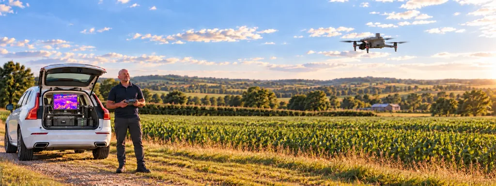
Keith is based in Lancashire and works directly with businesses and property owners across the North West.

Keith holds a CAA Operational Authorisation, is GVC qualified and has an MSc in Cyber Security. He is also registered with a national search-and-rescue organisation. Client information and captured imagery are handled confidentially.
The fleet includes the DJI Matrice 4T for thermal, zoom and low-light work and the IP55-rated Matrice 4TD. Each flight is planned around airspace, weather, privacy and permissions. All on-site surveys and risk assessments will be carried out in accordance with CAA regulations.
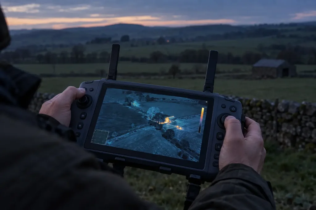
The DJI RC Plus 2 Enterprise displays live thermal and visual feeds during a flight.
Every site and operation is different. These are the practical points most customers want to understand first.
The Matrice 4TD has an IP55-rated airframe for demanding conditions, including rain. Every flight still depends on wind, visibility, airspace and a safe site assessment.
We will explain what is needed. Flights are planned around the site, airspace, privacy, land access and the relevant operational permissions.
Client details, operational information and captured imagery are treated as confidential and retained only for as long as needed for the agreed work or applicable legal requirements.
We discuss the problem, location and urgency, check whether a drone can genuinely help, and explain the safest practical next step without a hard sell.
Tell Keith what you need photographed, inspected or monitored, and where.
He’ll explain whether aerial support is practical and what it can realistically achieve.
Based in Lancashire
Covering Lancashire and the North West, including Preston, Southport, Liverpool and Manchester. Availability and travel confirmed with your enquiry.
If a crime is in progress or anyone is in immediate danger, contact the police first.